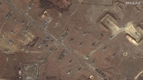
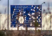
Kyiv IT specialists have launched an automatic service to monitor the activity of the Russian army near the borders of Ukraine.
Wednesday, February 23, 2022


Data for the project is taken from satellites, analyzed, and then marked on the map showing the current positions of Russian troops, reported dev.ua. The map has clickable geolocation of the deployment of soldiers, and satellite images are opened by clicking. “Data is taken from European satellite operators. Satellites are constantly flying and taking pictures. Next, our system finds clusters of military equipment and dynamics in the photos near the borders. The team is now working to obtain better images from European operators, improve the interface, and attract analysts and moderators to enhance data analysis.


